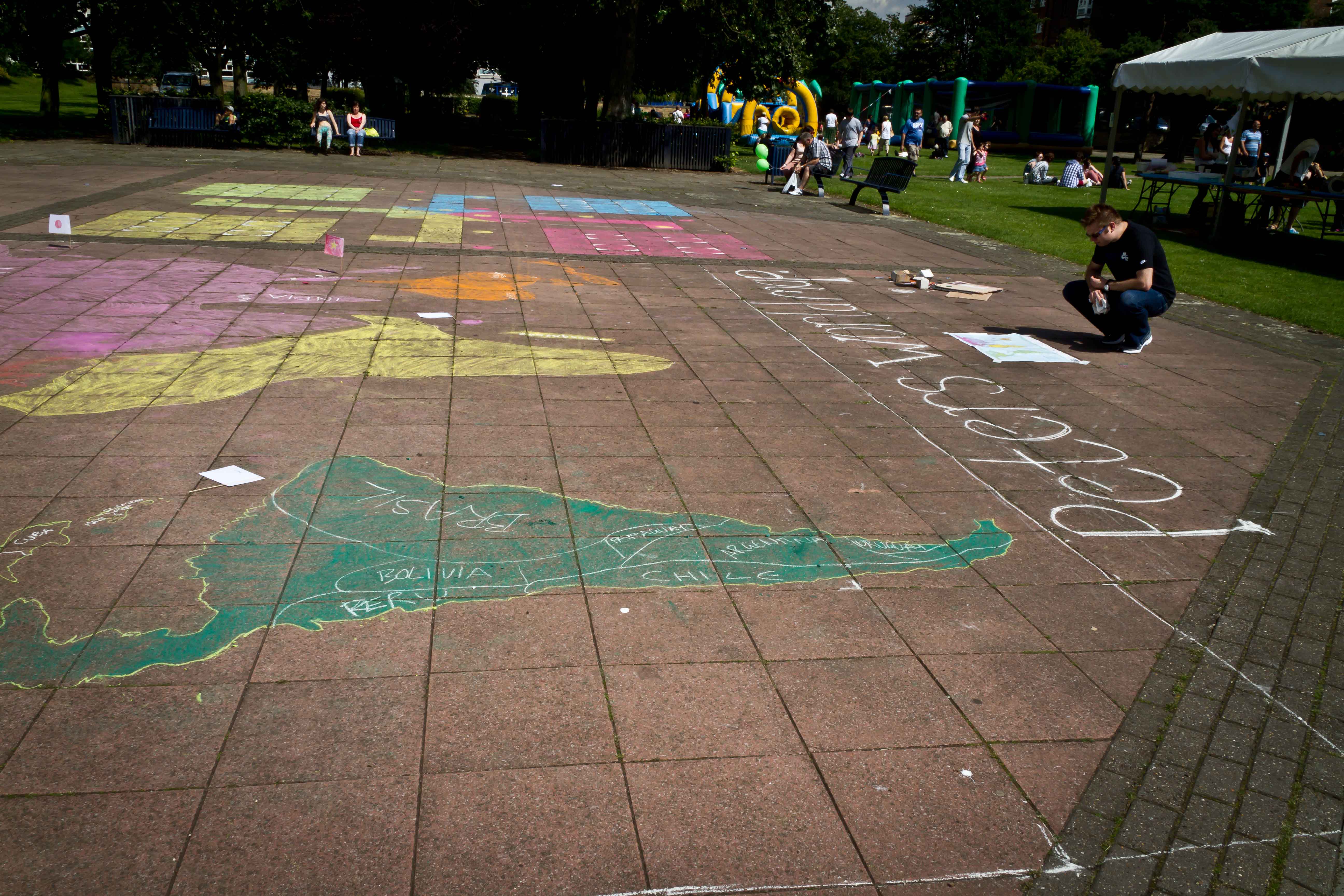
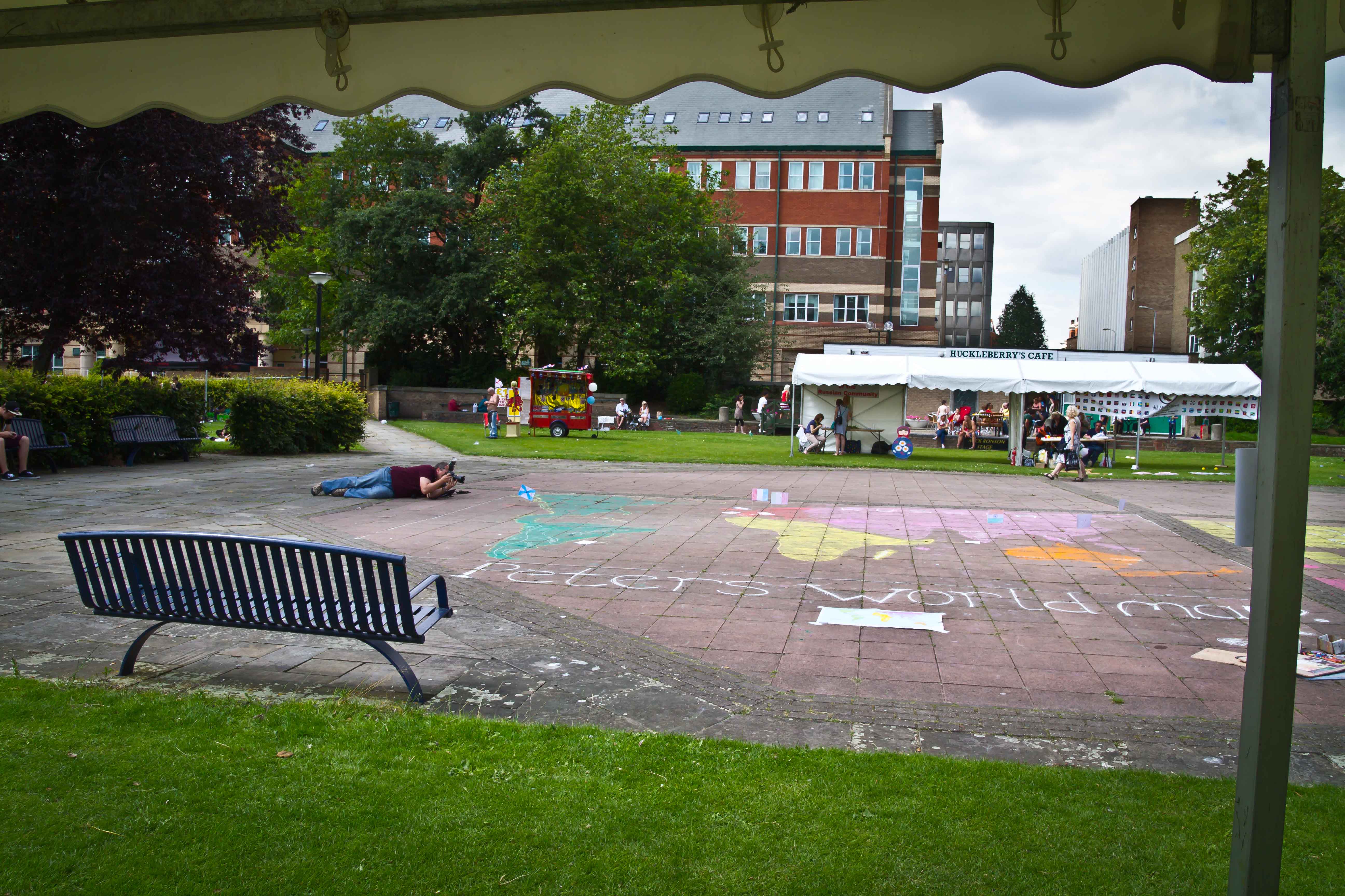
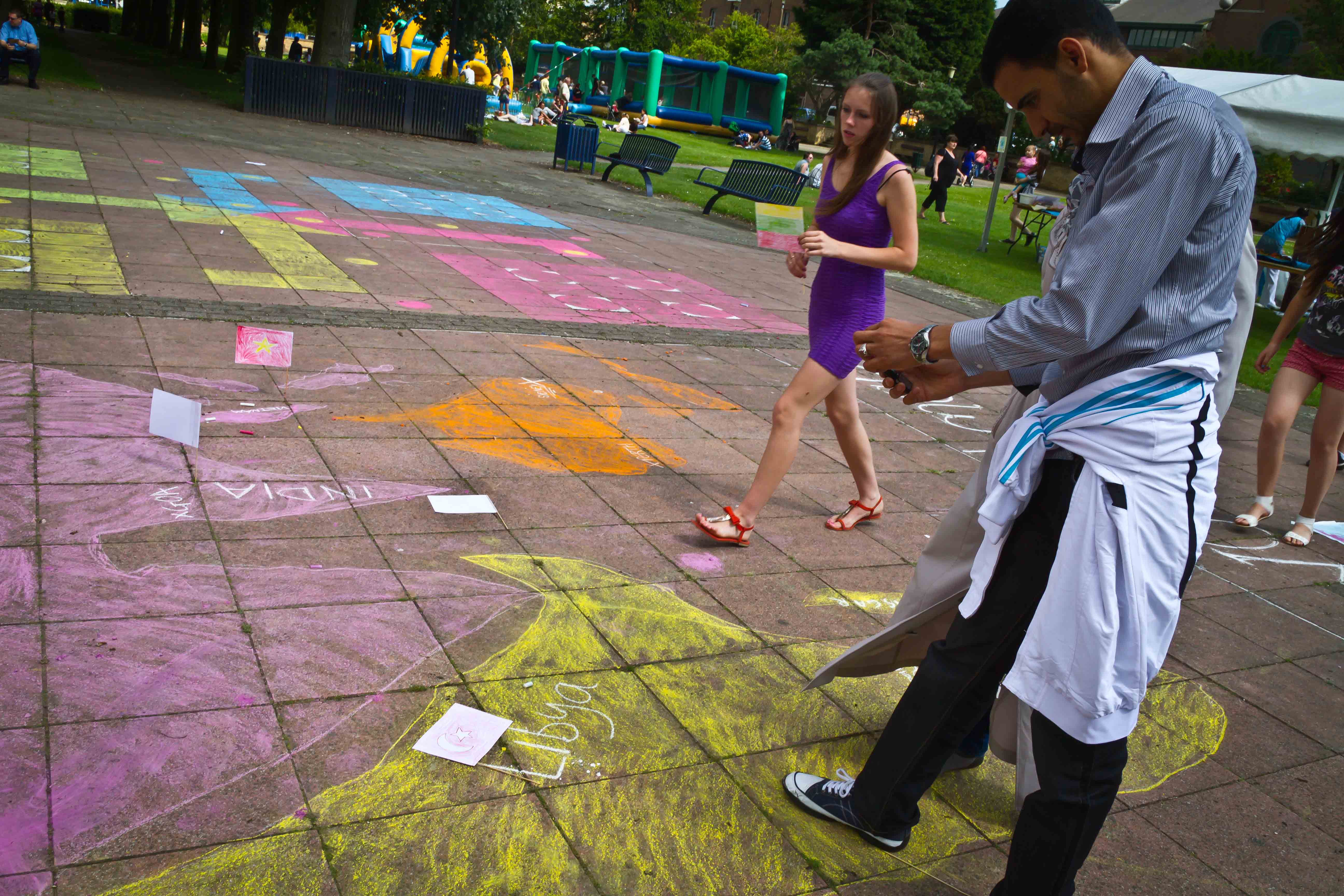
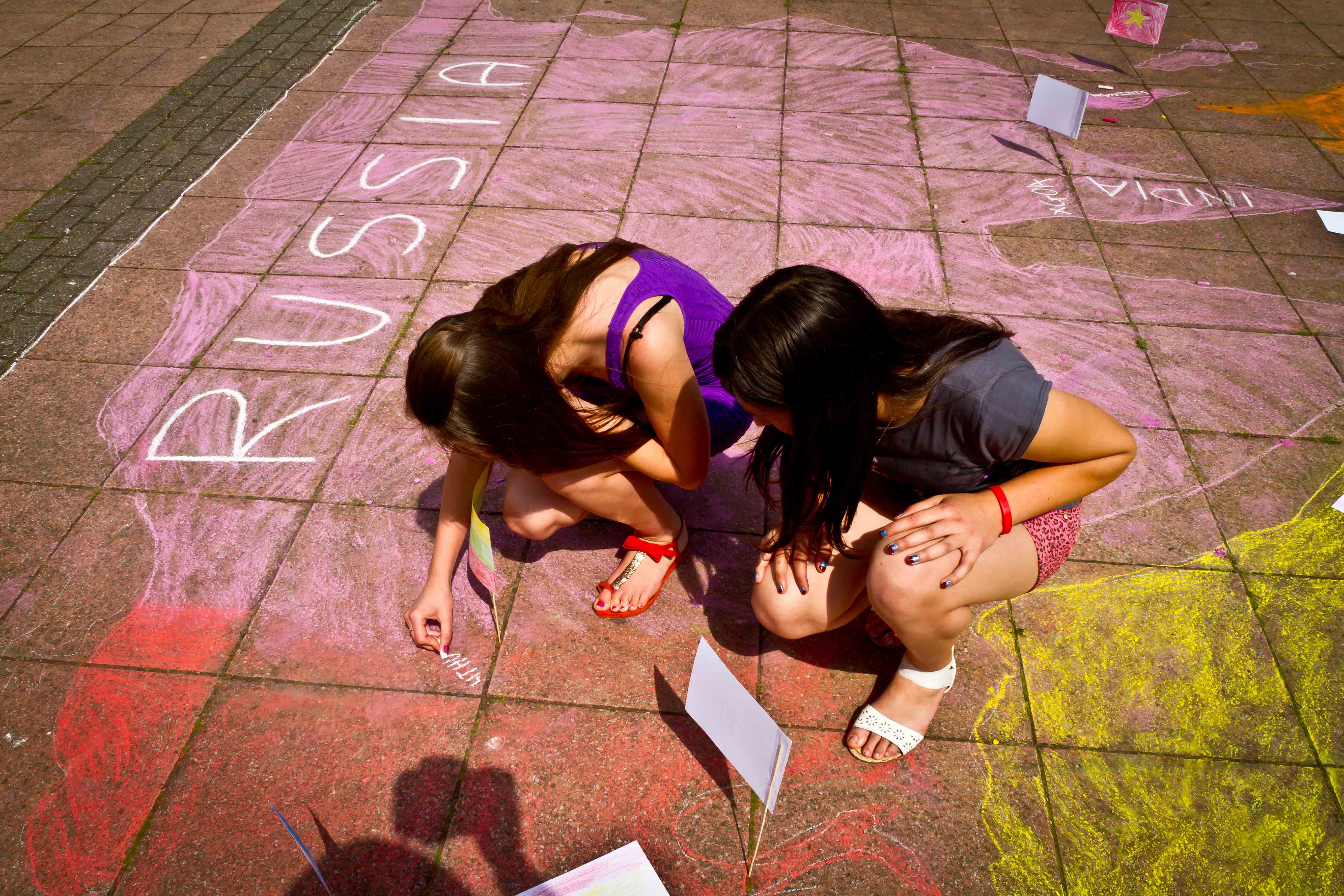
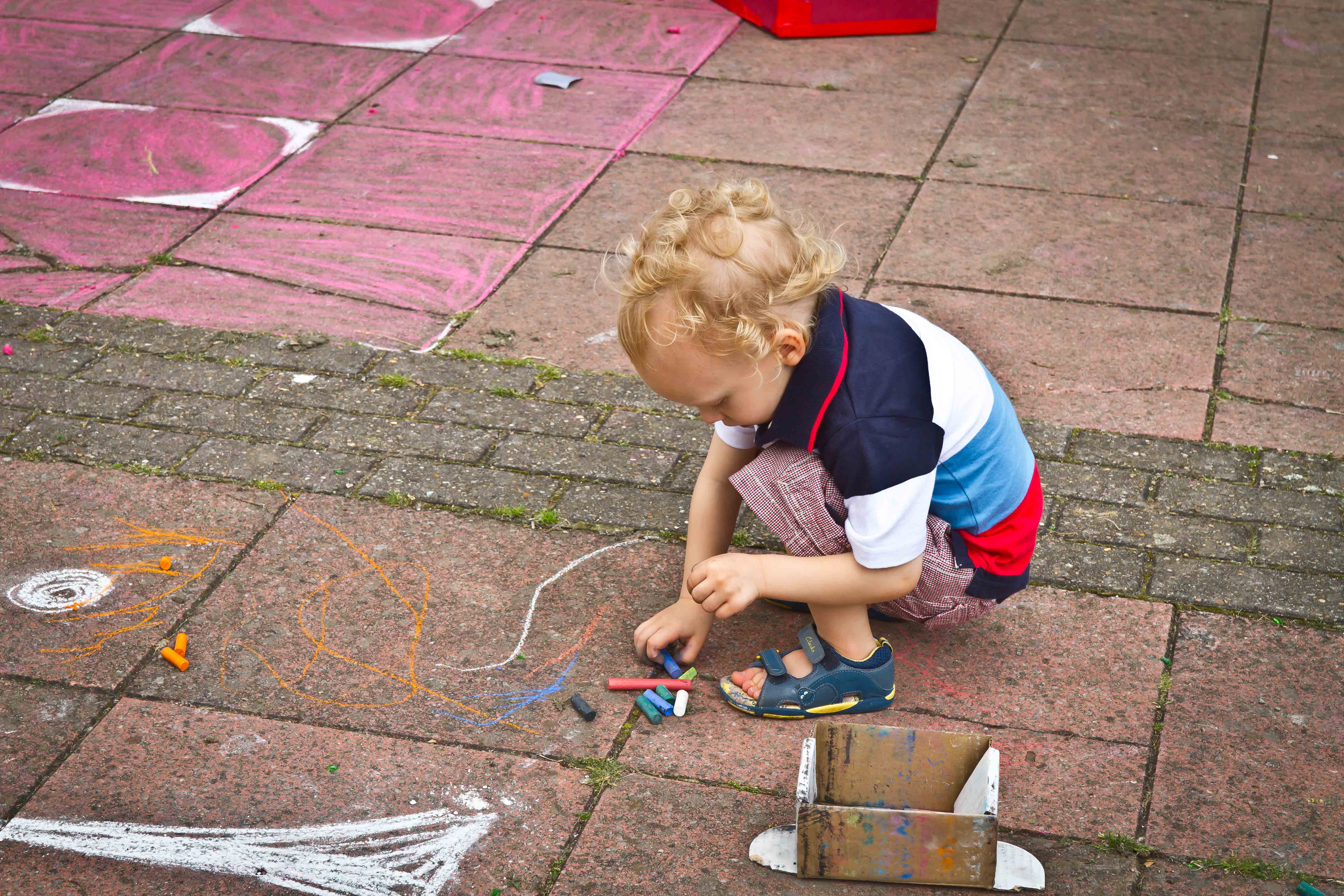
I was commissioned by Artlink in Hull to carry out this work a large scale public drawing event. Based on Peters Map – this is what happened ……

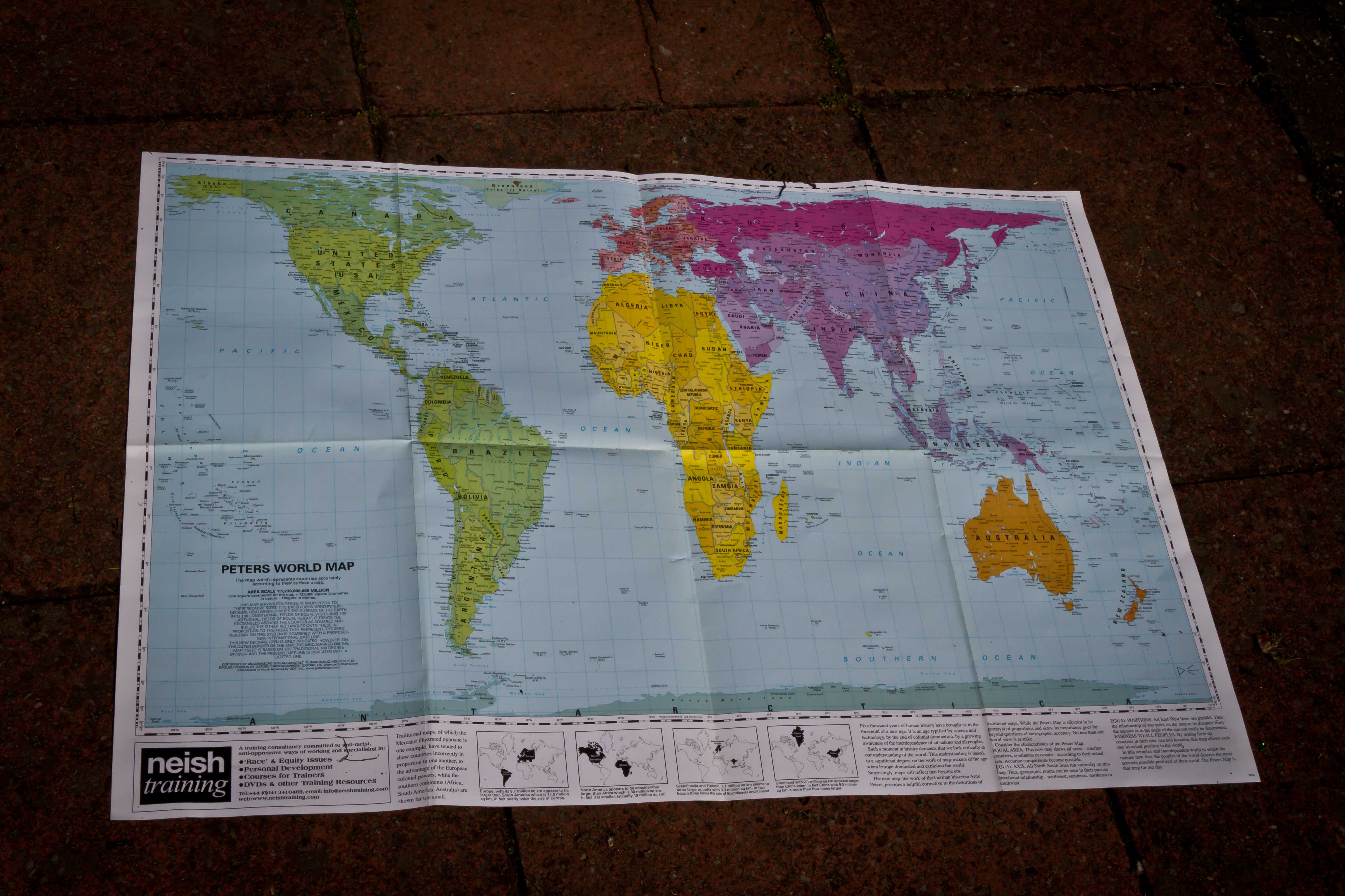
The earth is round. The challenge of any world map is to represent a round earth on a flat surface. Peters Map tries to redress this issue – by showing us an area accurate map of the world – of course in Peters Map Europe is still in the middle at the top – a legacy of the Eurocentric view of the world dominated by western culture and thinking. These were just some of the issues that came up for discussion – with participants in this map drawing event – my friend the illustrator and educator Gareth Sleightholme suggested that if you placed the Pacific ocean in the middle you would have a more representative and less hierarchical map – which I tend to agree with.
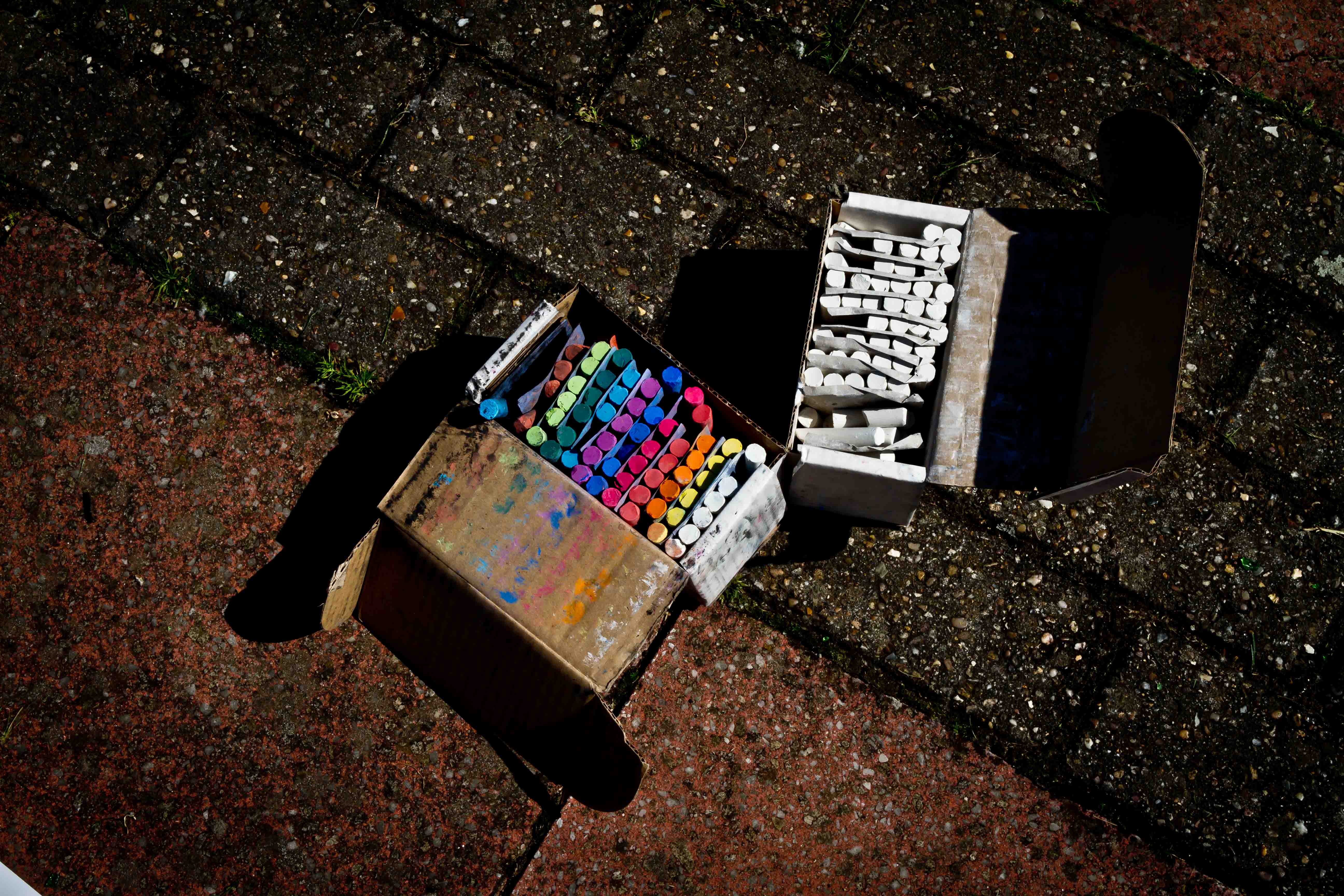
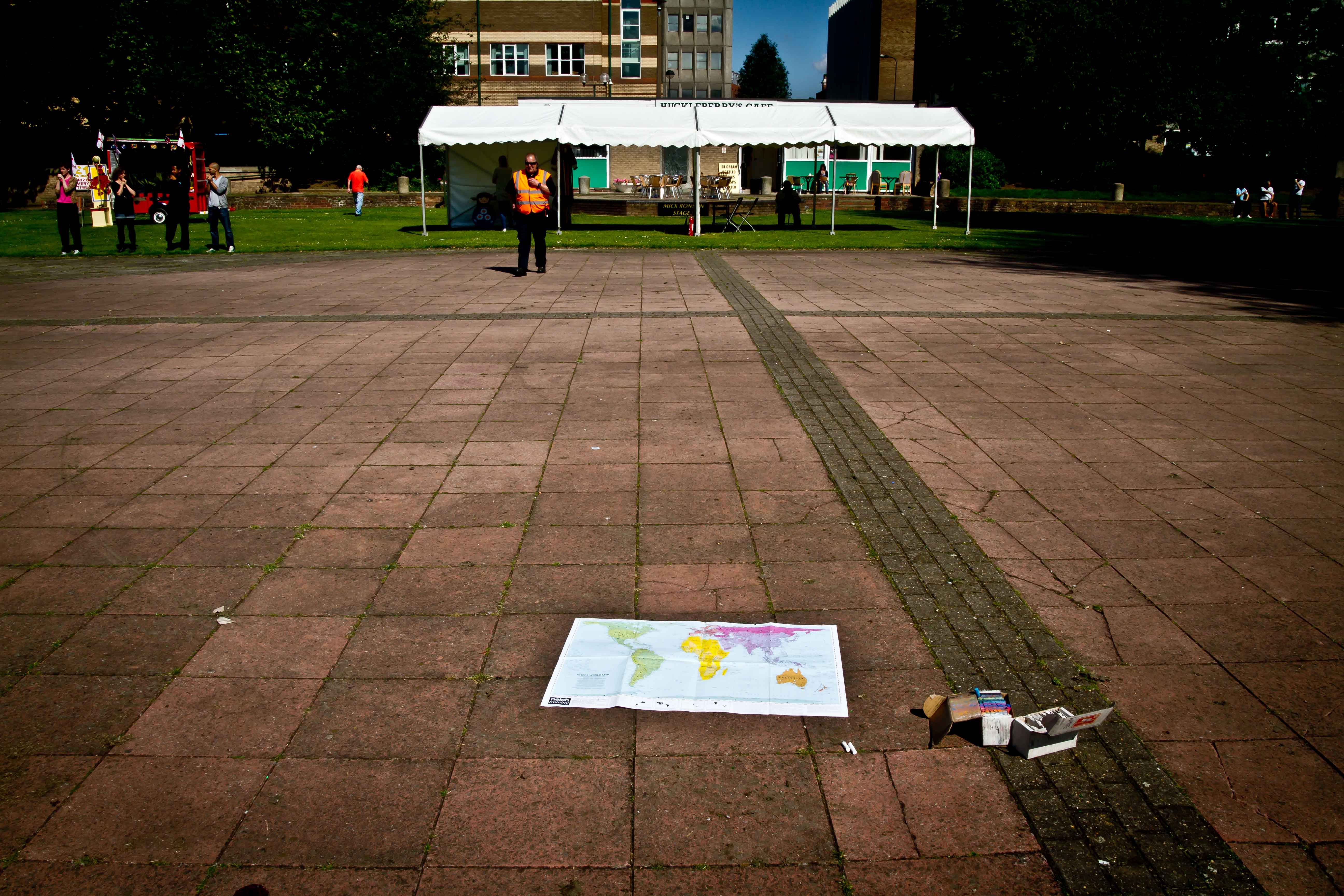
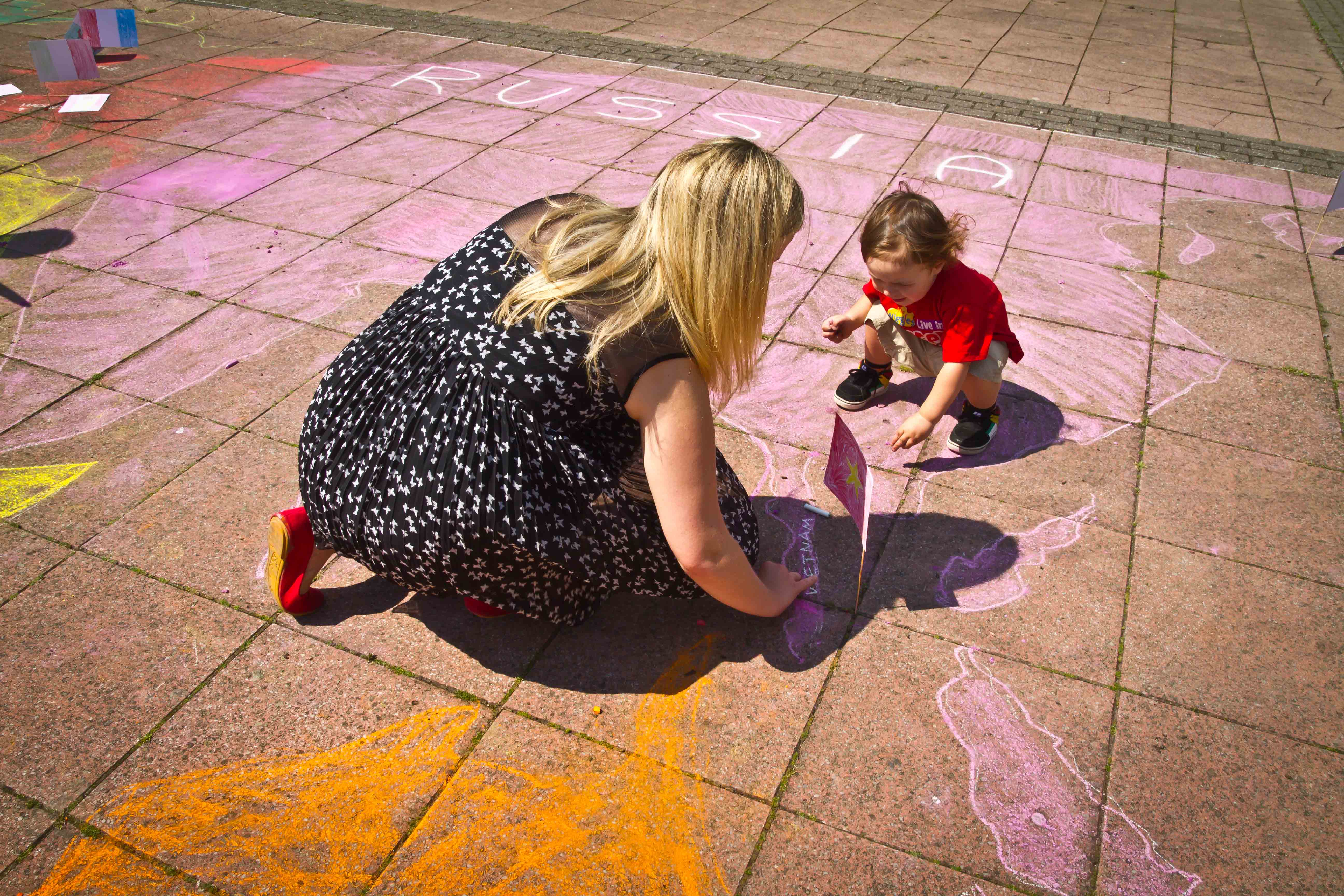
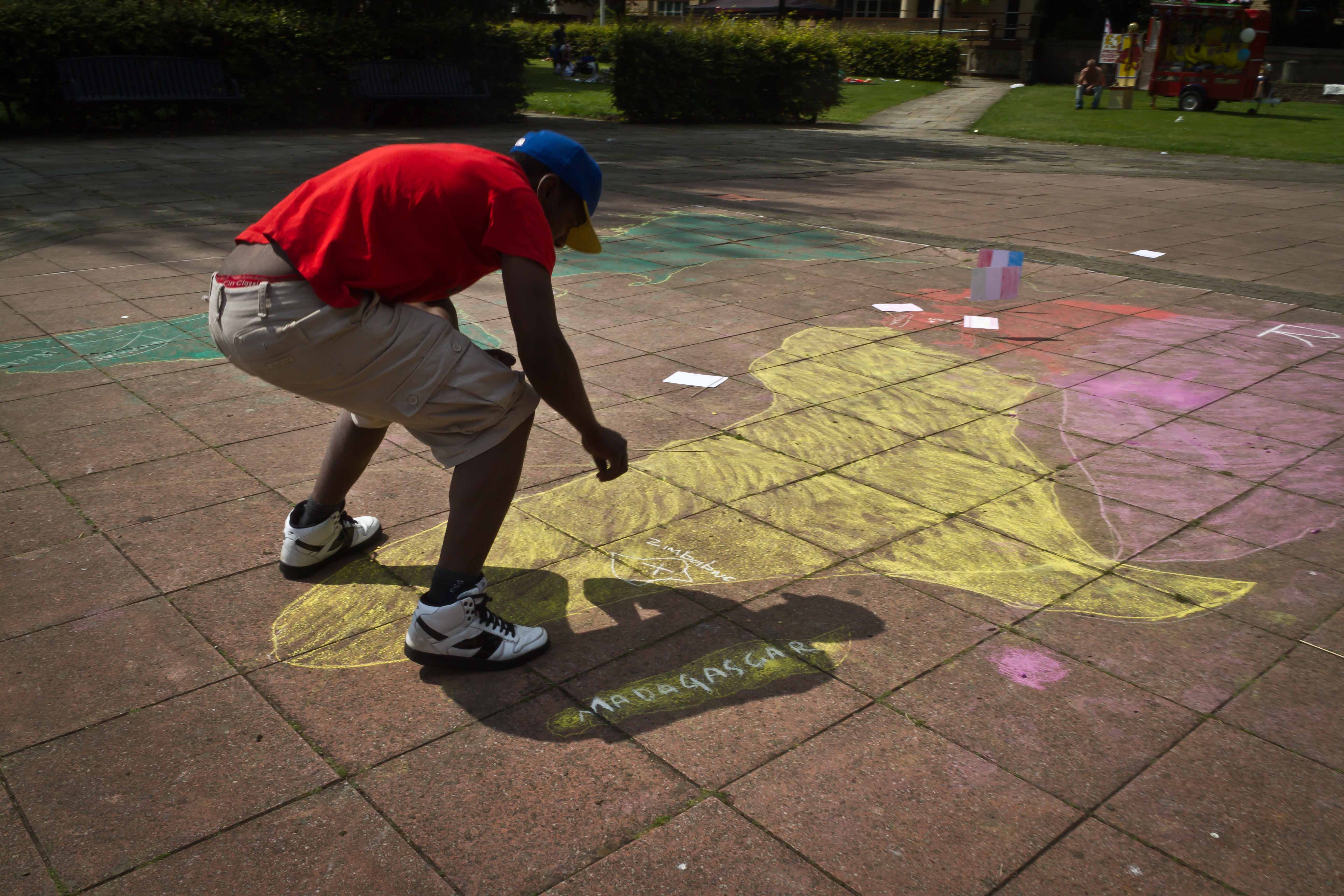
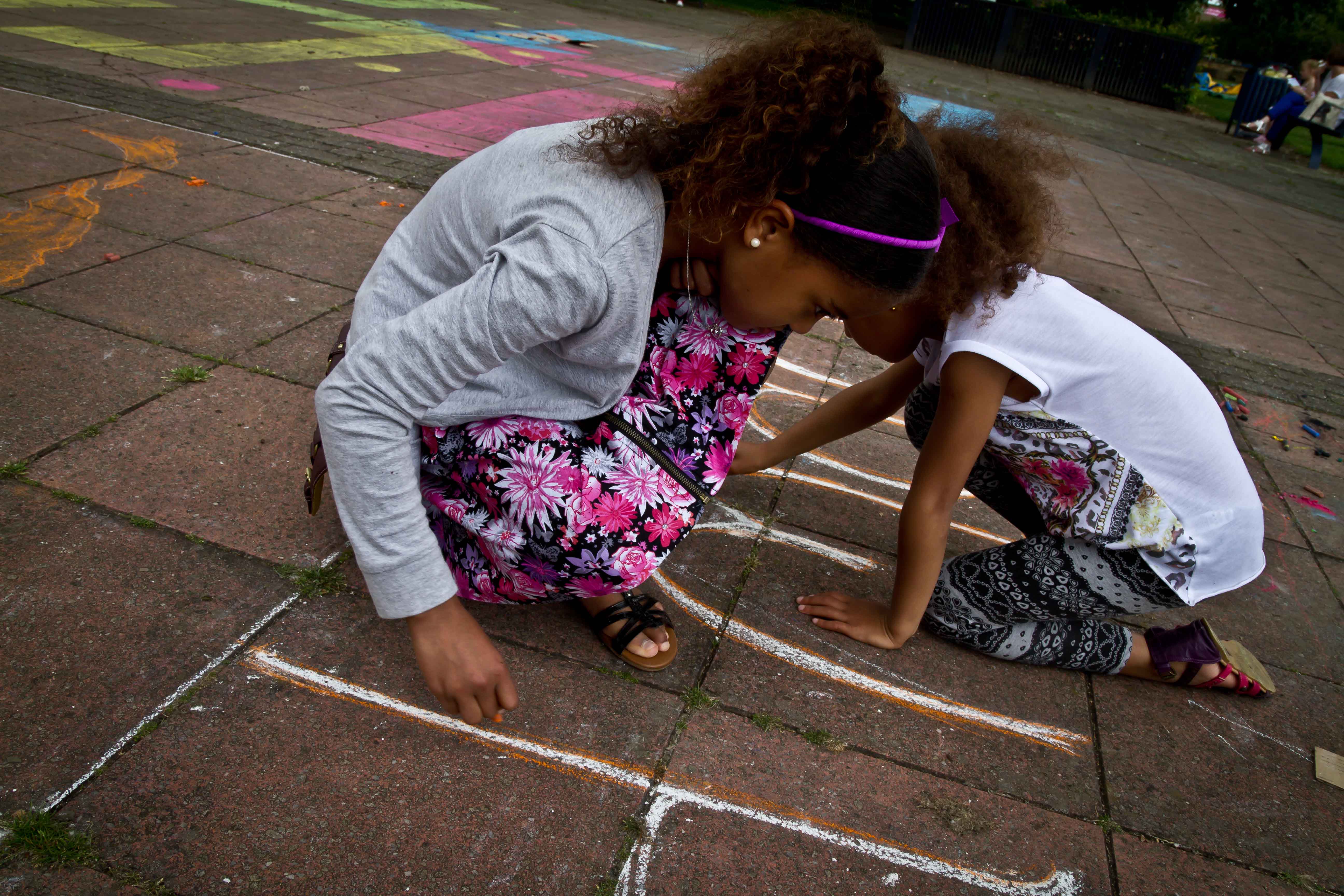
So lots of people joined in the map making process – here are some pictures of the days events – here are some images from the event